Because sometimes it’s nice to see the statistics, and other nerdy things like maps.
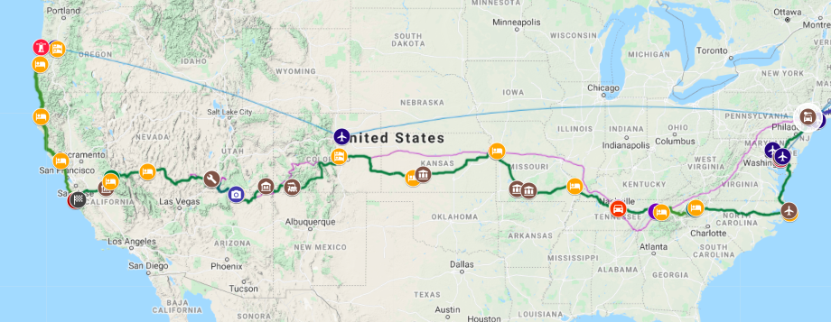
We started the roadtrip on the 7th August in Eugene Oregon, and finished it on the 3rd September in Troy Hills, Parsippany NJ.
 We drove for 20 of those days. Our shortest day was 135 miles and our longest was 400 miles (the same distance as London to Edinburgh); the average was about 250 miles.
In all we did 4930 miles according to the GPS, or 5430 according to the JGG’s speedometer. That’s about the same distance as London to Delhi. Using the GPS figures we got 12.2 mpg using US gallons or 14.6 mpg using UK gallons.
We used 400 US gallons of petrol at an average cost of about $4 per litre but ranging from $3 to $5.40. This is higher than it looks on the petrol station price boards because we always bought decent quality petrol, 93 octane or higher, and non-ethanol if we could get it. And for our British readers this works out as an average of 77p per litre which is about half the price of equivalent UK higher-grade petrol.
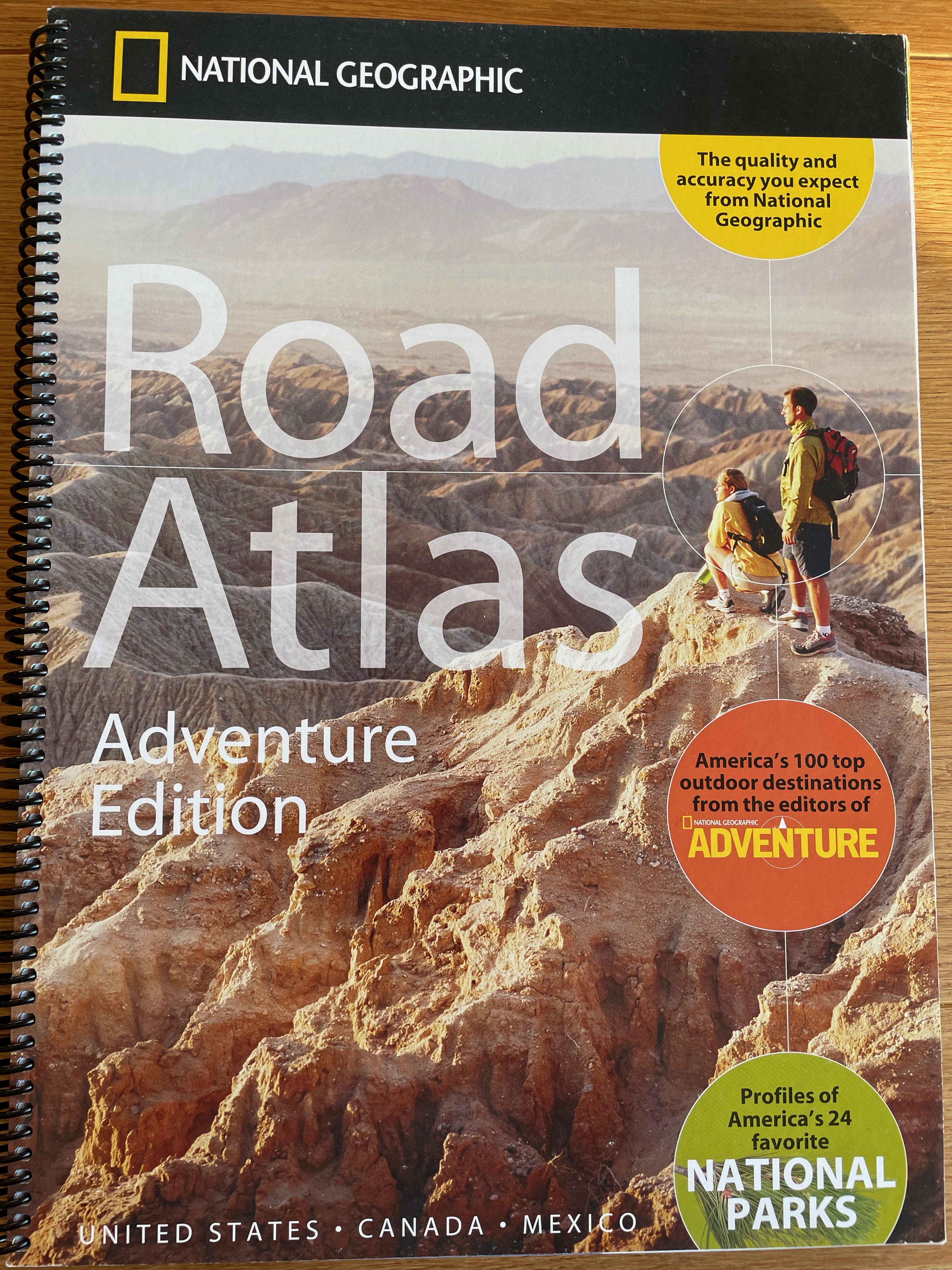
We started off doing the route planning using Mr Google, with the “avoid motorways” option. However we really wanted to avoid the bigger non-motorway roads too, so we were delighted to find this National Geographic road atlas in a service station.
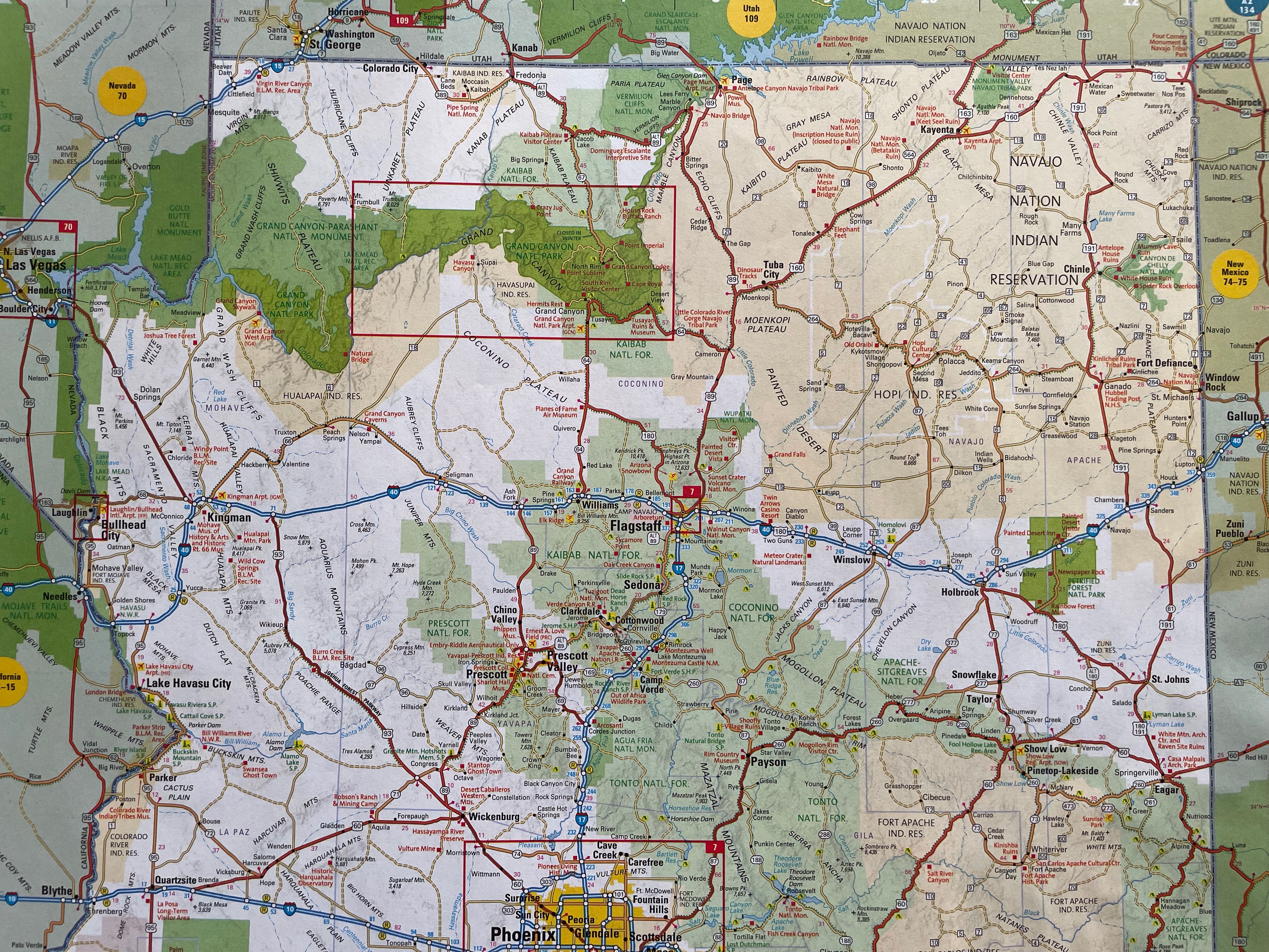
It proudly claimed that each state was shown on a single page. This made mapping square states like Colorado fairly straightforward, but the long thin ones were a bit of a fiddle to get in and tended to have the inconveniently sticky-out bits cut off and stuck in to one of the corners. Each one was scaled to fit the page, so the desert states tended to be around 15-20km per cm while the eastern states could be as detailed as 4km per cm. Oh, and they were also in alphabetical order, so as we neared the “Four Corners” place where Arizona, Colorado, Nevada and Utah meet… well, let’s just agree that this atlas wasn’t really designed for creating a coast-to-coast road trip routes. However it was extremely helpful and it was available and it was at least a thousand times better than Mr Google for getting an overview of which roads led where.
I refer you once again to my Electronic Maps Cry For Help post. I am starting to feel there is an anti-mapping conspiracy out there. A QLost conspiracy, perhaps.