Because a river can be foe as well as friend, so you need to know your enemy.
In my post on the glaciated rivers of the alps, I posted some videos of the torrents of water piling through these rivers as we passed by in June.
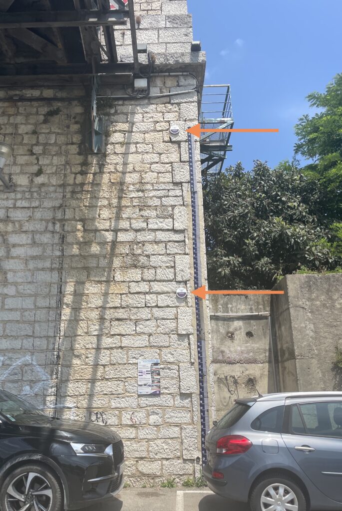
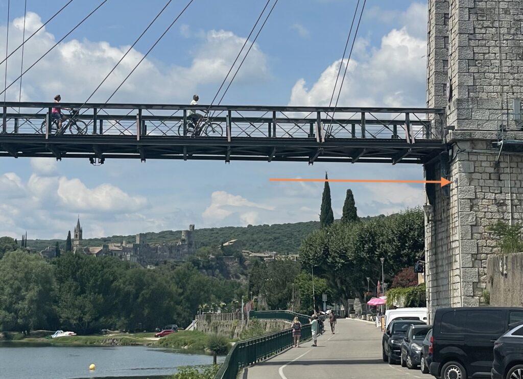
Many towns have “crue” (flood) level plaques posted on walls near, and sometimes shockingly far above, the local river. Here are a couple spotted in St Martin d’Ardeche…
… you can see the height of the top one in this photo…
Reading the local information boards further, the river authorities explain that part of their job is to ensure that people remember that floods have happened, they definitely will happen again, and everyone needs to know what their role will be when it does. Another part of their job is to ensure that information about past floods is preserved so that the results of decisions to reforest hillsides or build on flood plains can be investigated.
In these mountainous areas with steep-walled valleys it is simply not possible to engineer your way round a flood. The information sites show how huge quantities of water can – and will again – fall in storms at unexpected times of the year, and how quickly the river heights will rise as a result.
This PDF book records “150 years of floods in our region“. Should I warn you that clicking on it will occupy a lot of your next hour? Would it make any difference if I did?

