In which Sid and Doris finally get used to 30 mile straight roads through murky sagebrush, only to have them replaced by scenery and blue skies.
 We are on for an 8:00 departure to try and avoid the worst of the desert heat, a popular tactic. At breakfast we get into conversation with two chaps who regularly drive from Flagstaff Arizona to Somona County California. They explain that yesterday’s murk is smoke from the Oregon and Californian wildfires, many of which are still blazing away. They also explain why this part of Nevada is arid desert – it is in the rain shadow of the Western Rockies – and strongly recommend the northern half of Arizona if we would like to see something prettier.
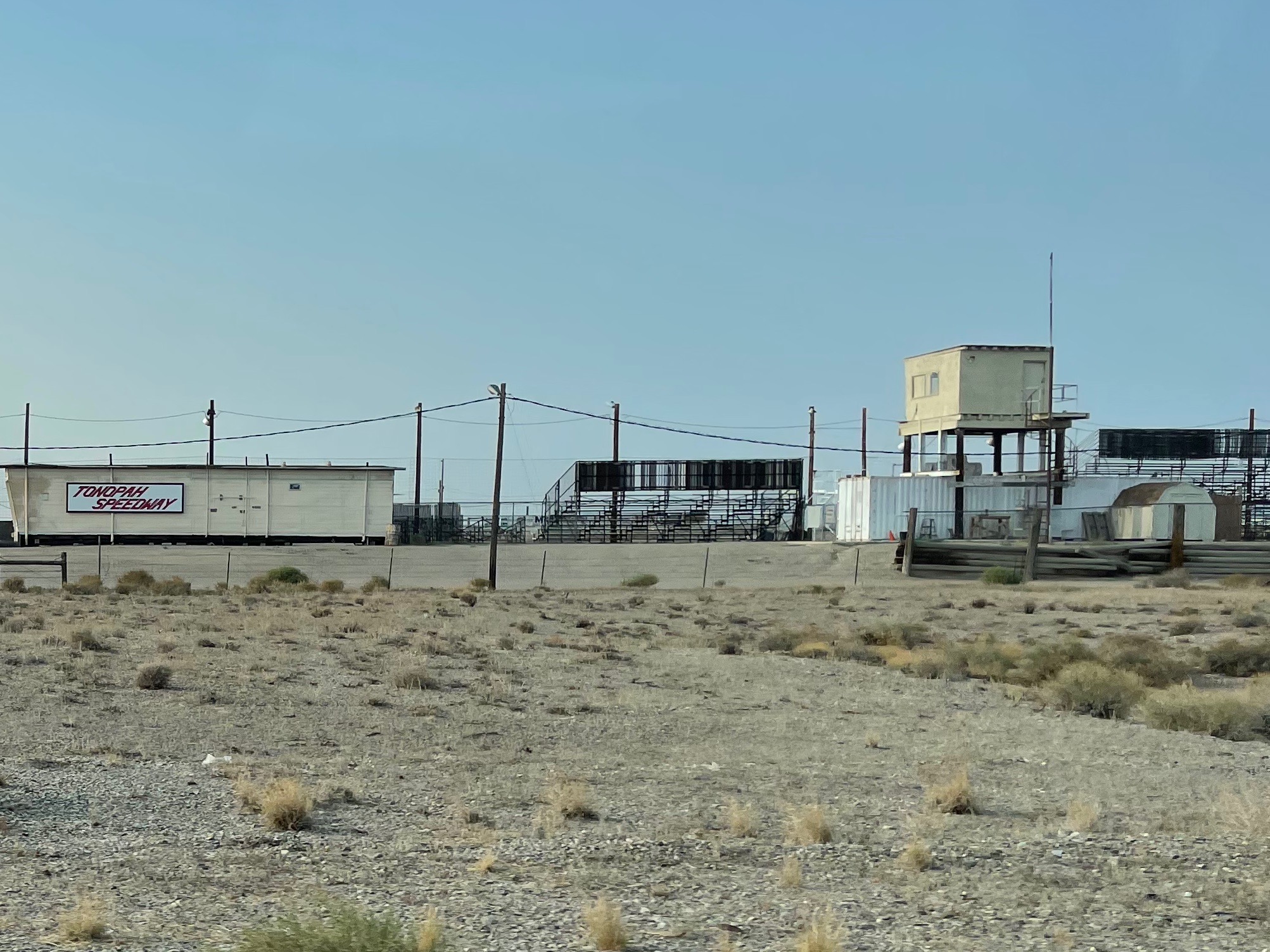 Out via Tonopah speedway which is a quarter mile oval leveled with a grader. They have bleachers, lights and a commentary box. The guys there are urging Tony to get out his Ford Model A Dirt Tracker that last ran in 1937. Just now the engine has no head but something will turn up.
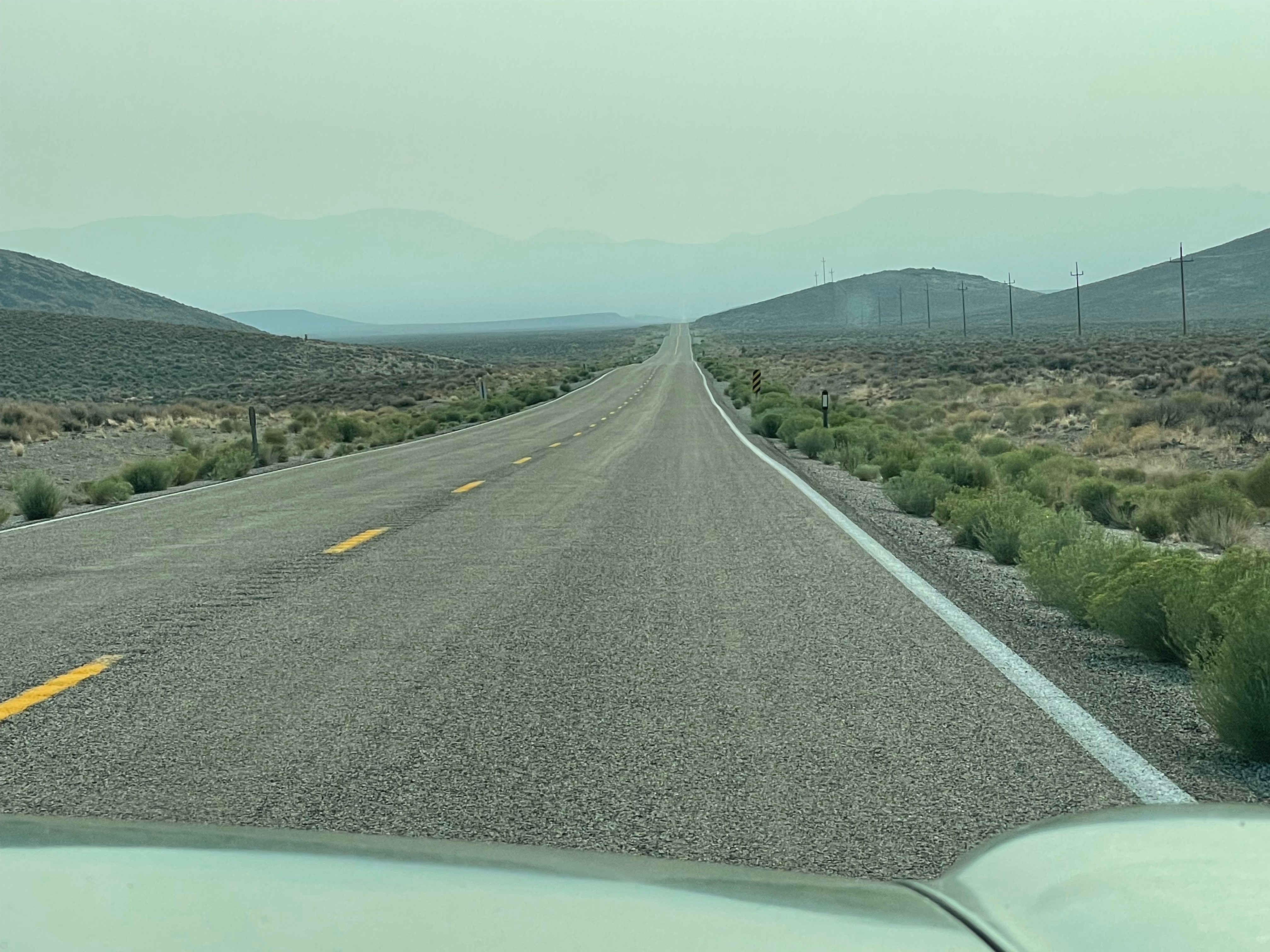

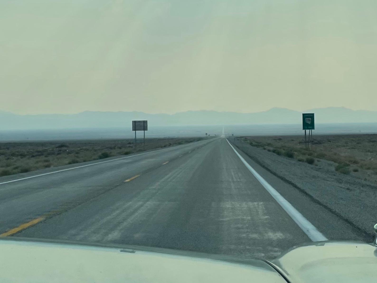
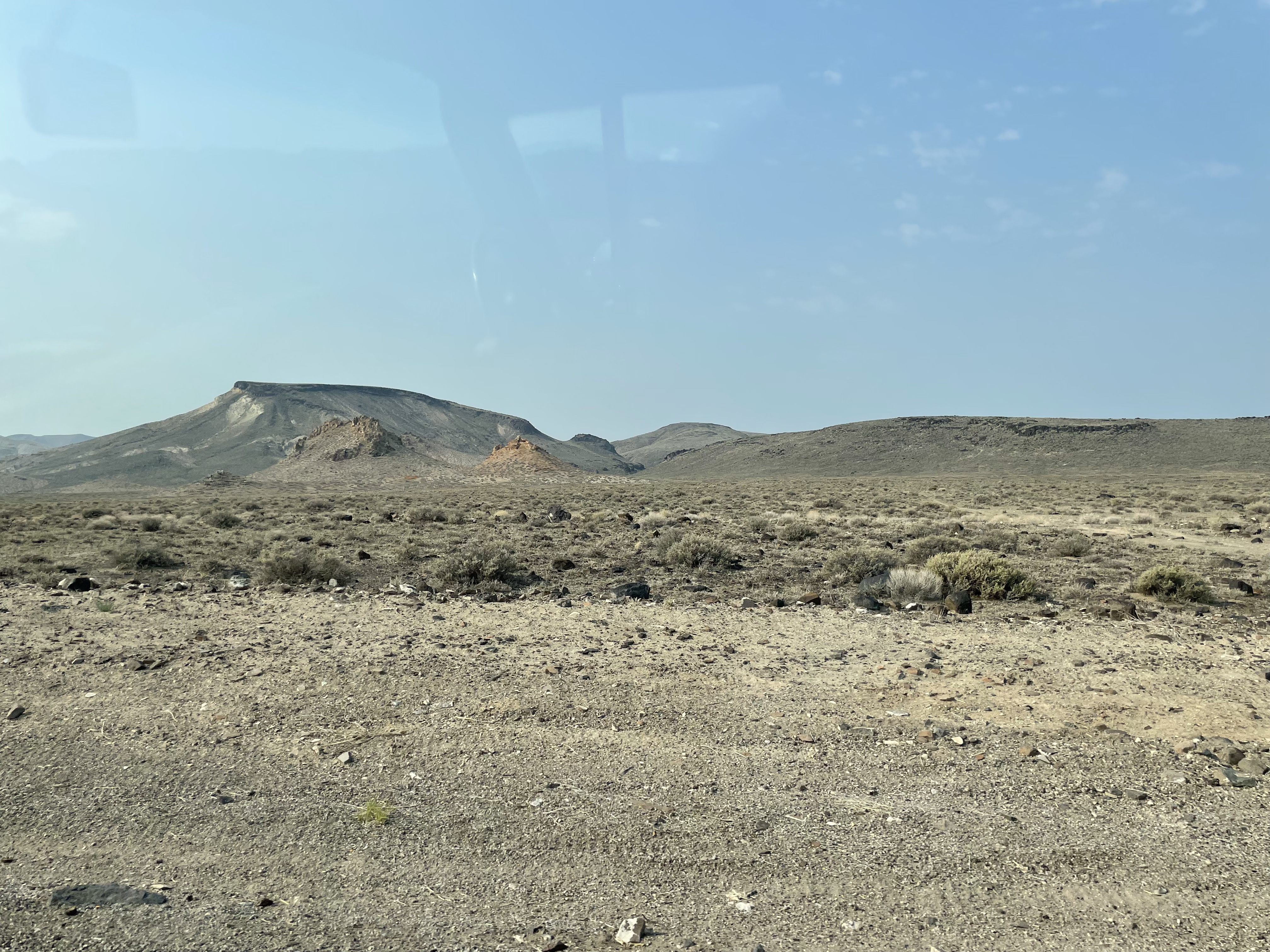
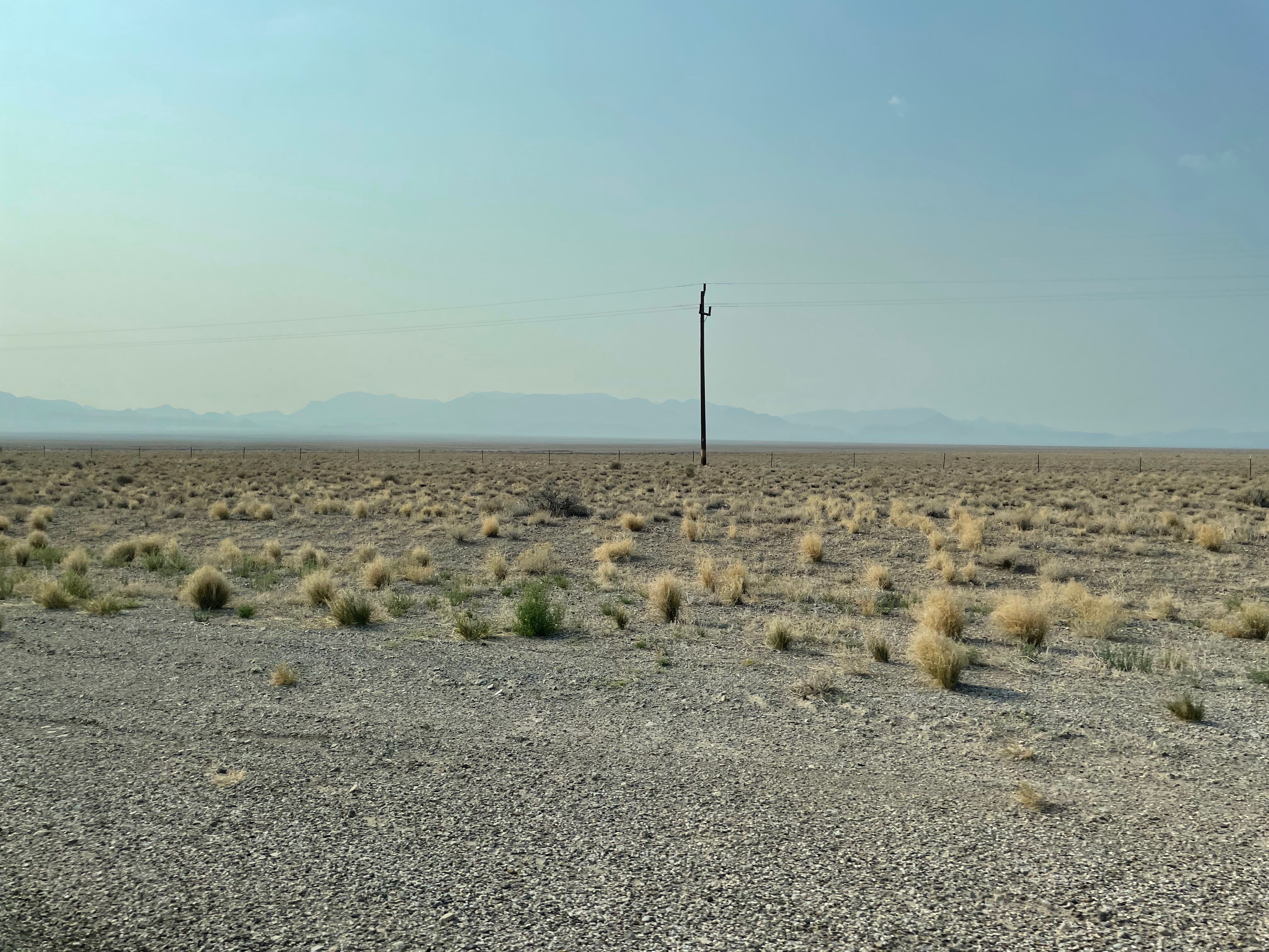 For the next 200 miles the scenery is 30 miles of dead straight roads followed by a 6000′ pass over a small range of hills, repeat, repeat, repeat.

 In desperate need of something to break the monotony, Doris has selected a route called The Extra-Terrestrial Highway. We suspect this to be a Marketing Initiative worthy of our friend Bothy McWeevil – also we do observe that it is right next door to the Nevada National Security Site and Test Range… Possibly the mysterious flashing lights have an easily explained origin. Alternatively maybe aliens are shaped like rocks or sage bushes and are up there doing the spaceship equivalent of waggling their wings and saying “Stuck up lot, they are not waving back. Still, at least they seem to have given their pet monkeys plenty of toys.”
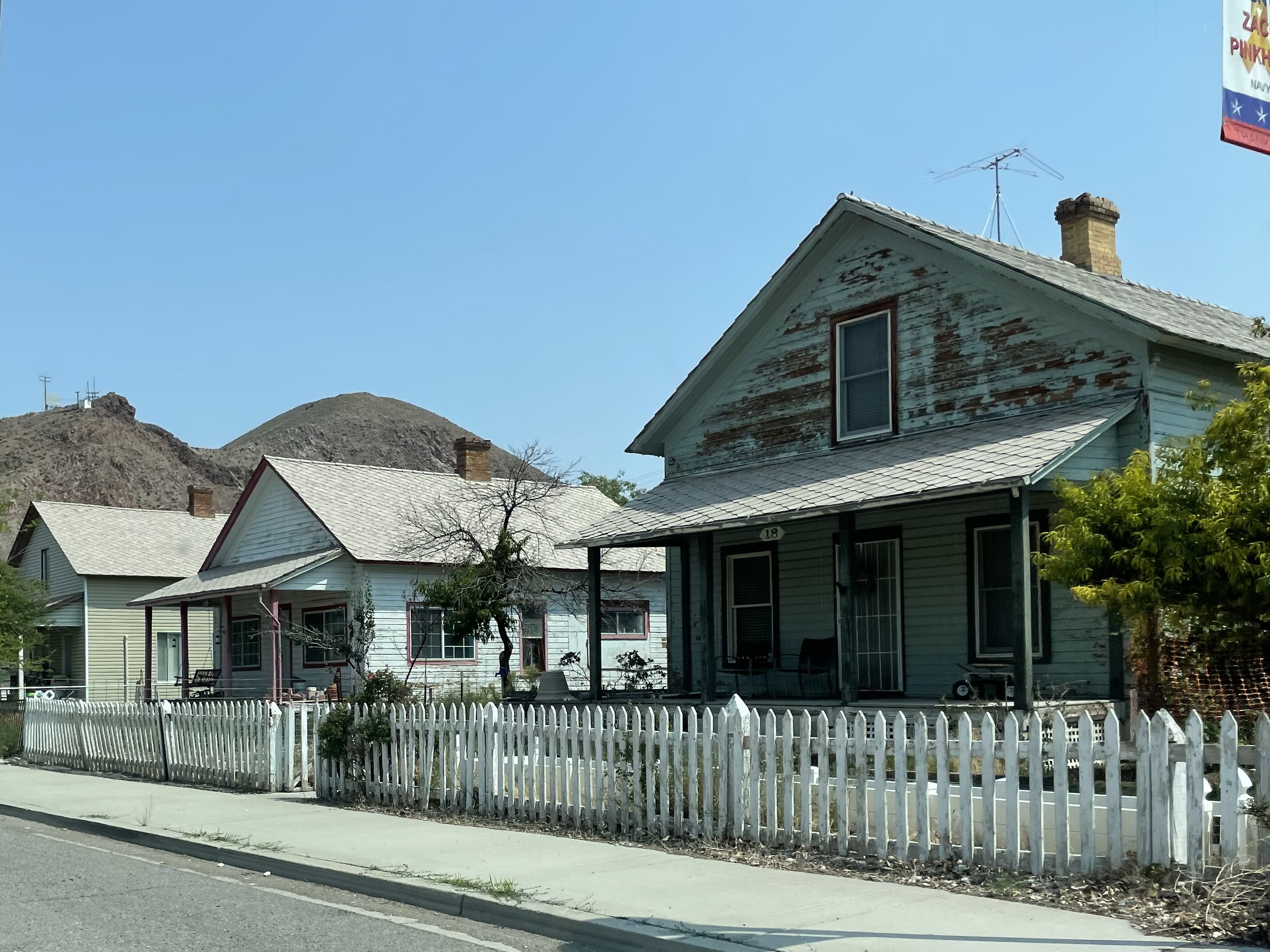
 There is not much to do here. Warm Springs has seen better days. In fact it doesn’t look like it is seeing any days. There are gunshot holes in all the road signs, which as the signs are pretty large doesn’t imply any great feat of skill except maybe you have to do it while standing upright in the back of a moving pickup truck.
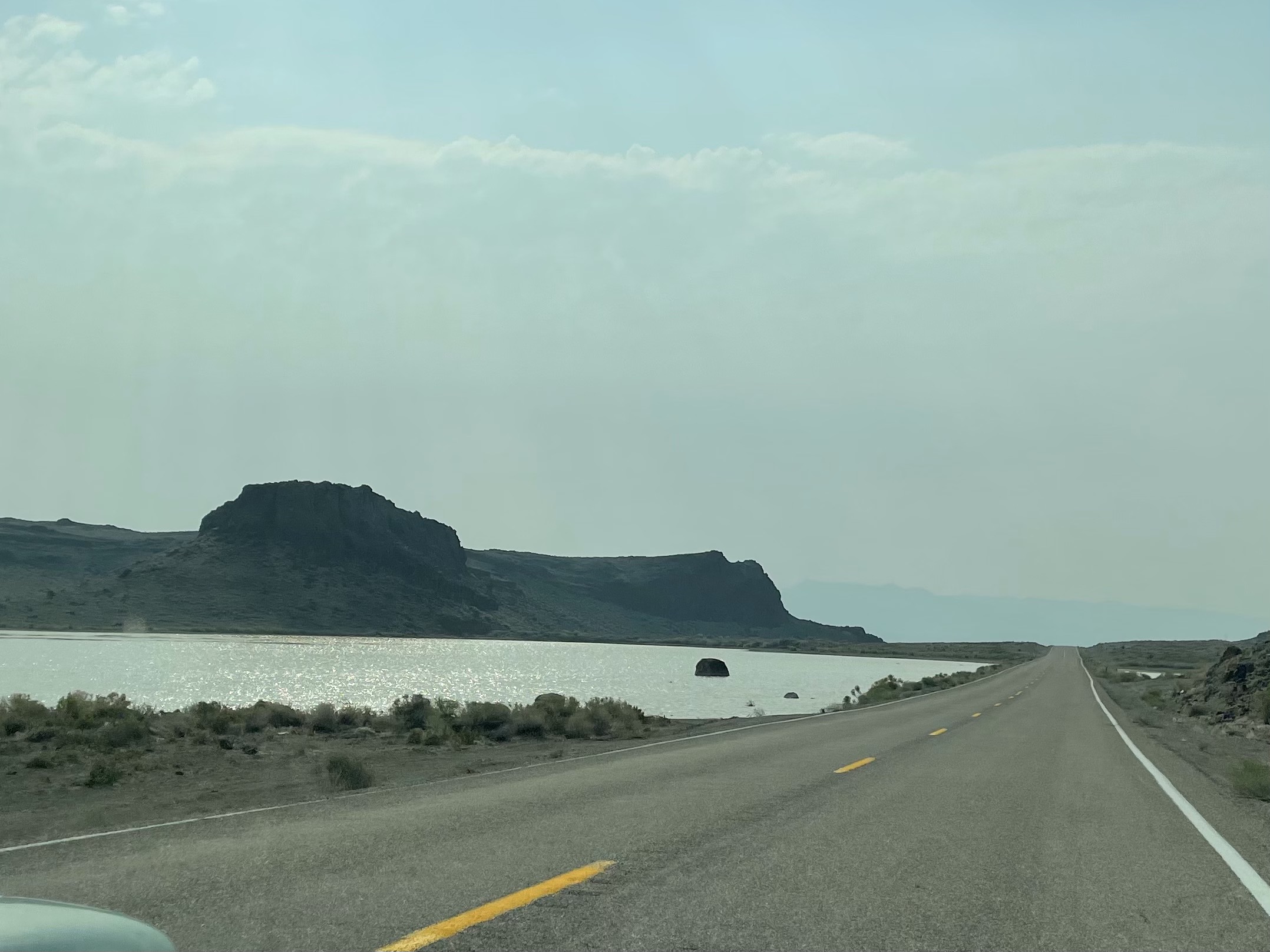
Suddenly we are seeing real water not just mirage puddles and it is odd to cross over a little causeway and with water both sides. The amount of green changes mile by mile. Along the road the sage brush gets what occasional run off there is. And then suddenly the geology has water at the surface and there are irrigation engines and then some natural greenish stuff before it all goes grey again.
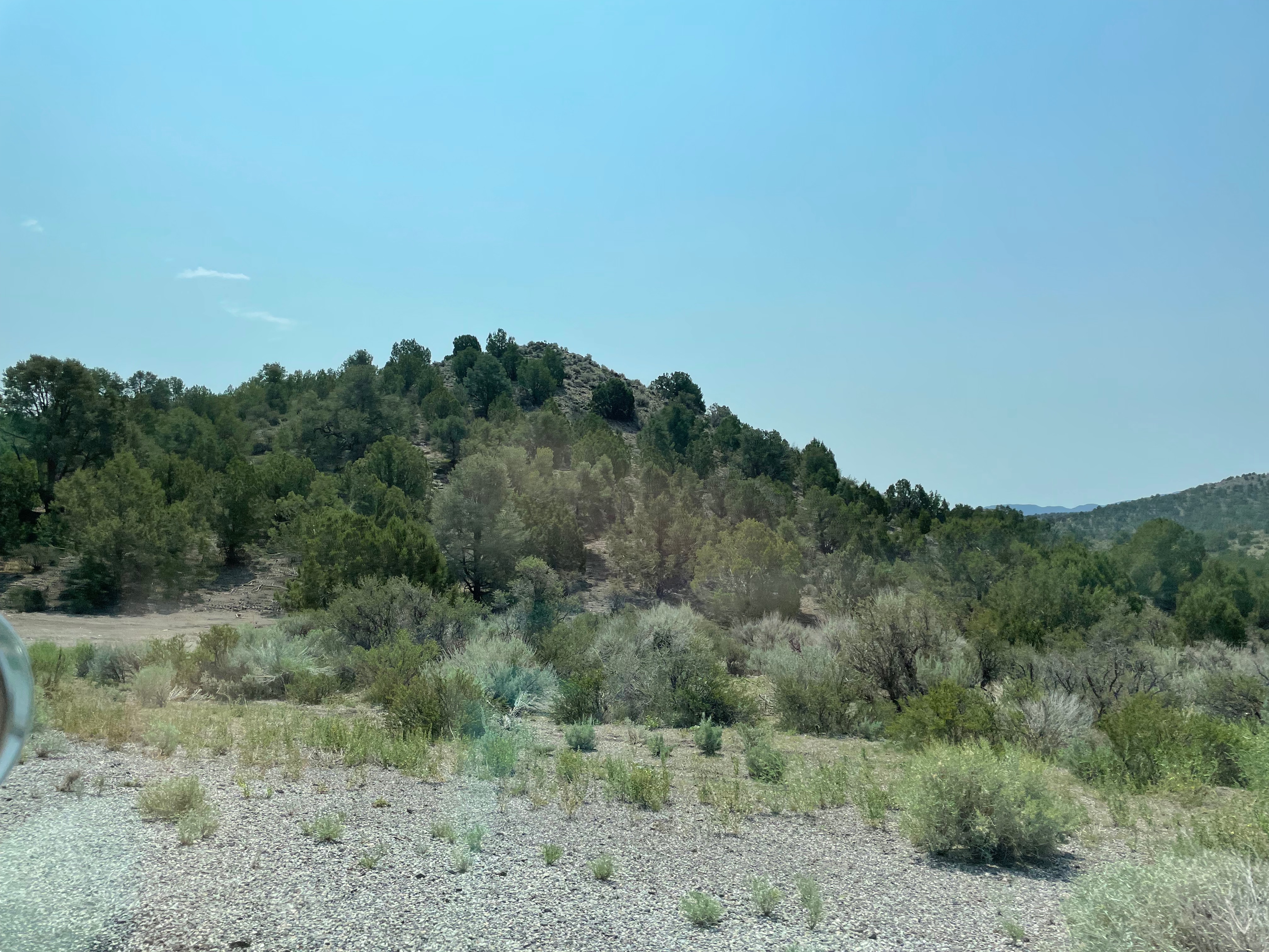
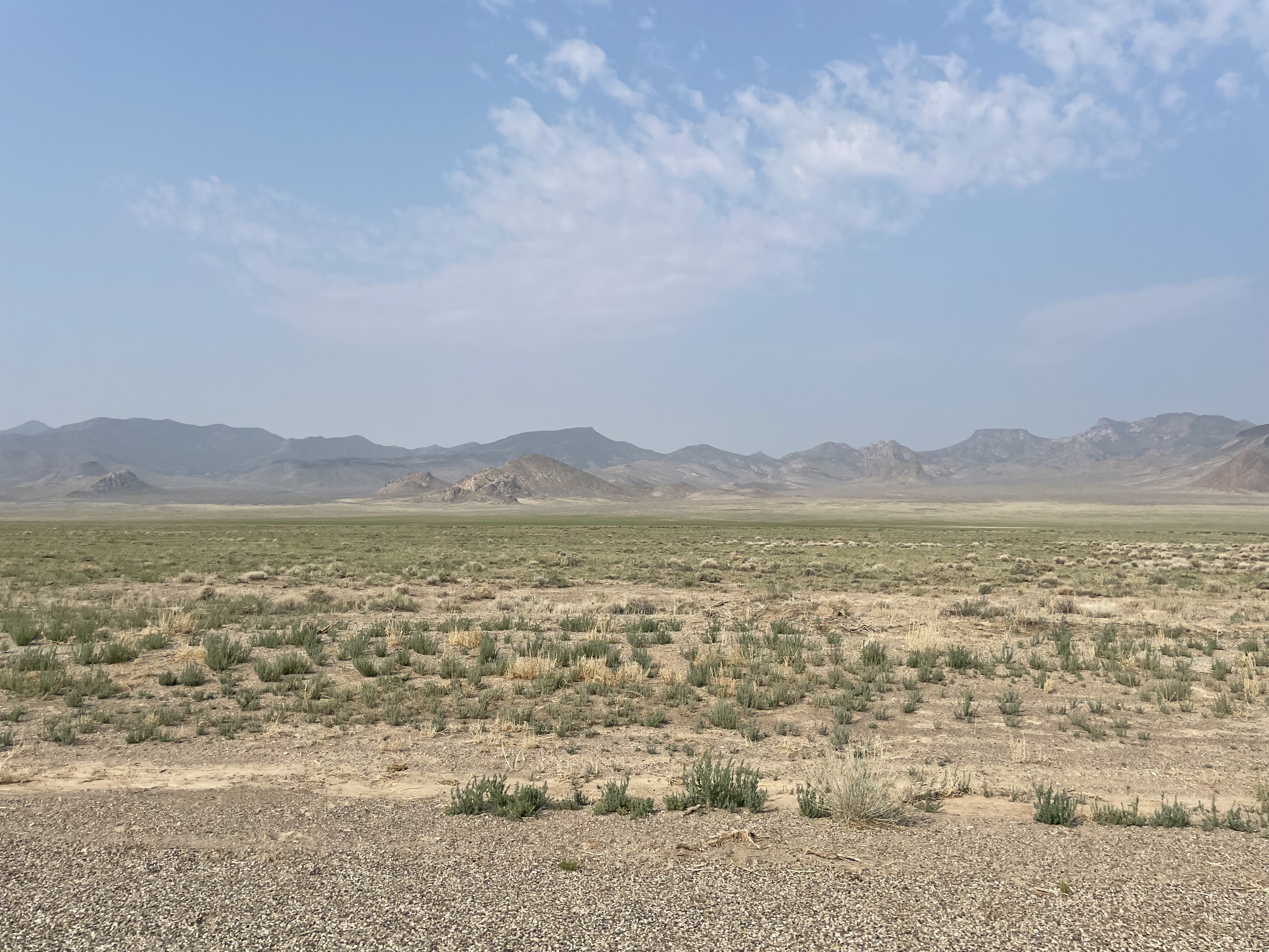
 We are on the look out for the first signs of new vegetation, cactus and then tumbleweed. Later yellow daisies and purple flowers by the road.

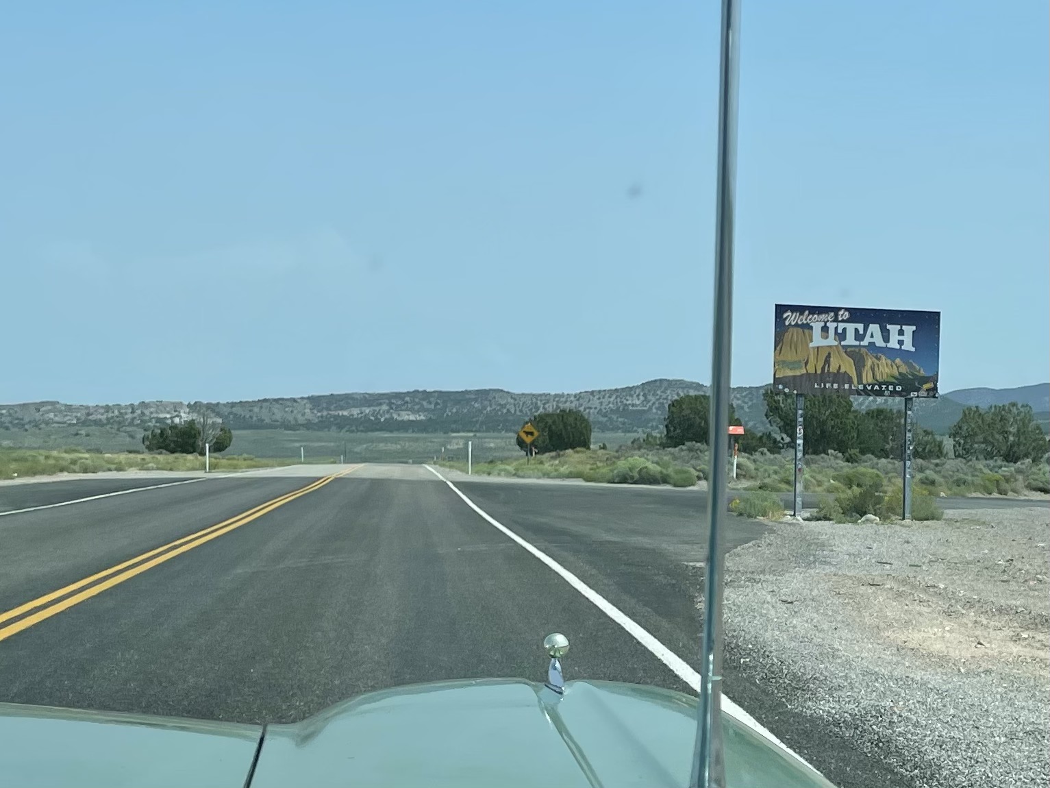
 We cross into Utah, across one of those state boundaries drawn with a ruler on a map by people in a universe far, far away. The desert is unimpressed. We also get our first sight of those vast irrigated crop circles that we saw from the air all that time ago.
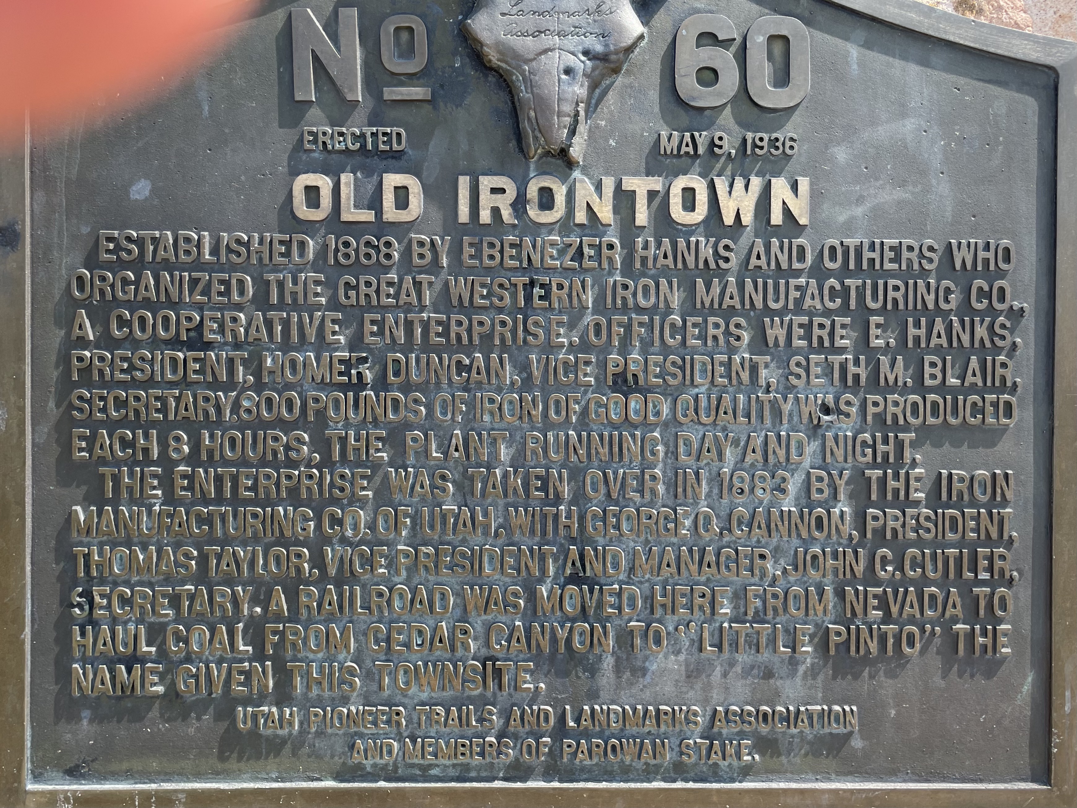
 Doris is keen to see how JGG will take to non-Tarmac roads so makes a brief detour to Old Iron Town along a map-dotted road. There is no gravel but when we get there we give the abandoned Iron Town the full Bonkers treatment, walking the Loop Trail to see example of cedars, which are really junipers, and sages as well as the remains of the furnaces and stone built houses. Old Iron Town was founded by the Shirts family. As we fill out the visitor book the people before us this morning were the Shirts family, written in rather wobbly large capitals.
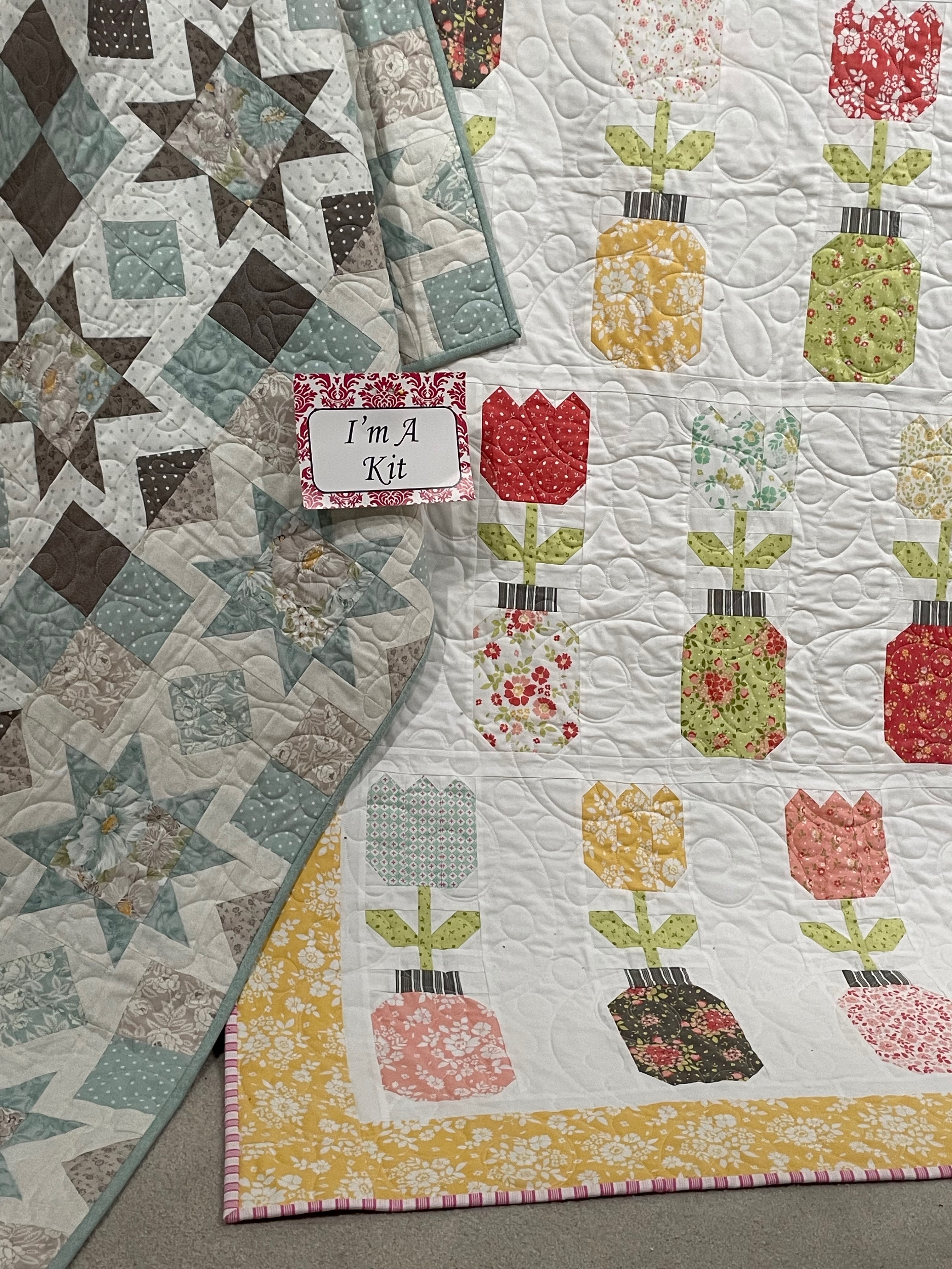
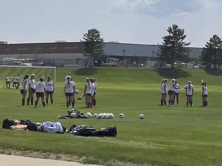
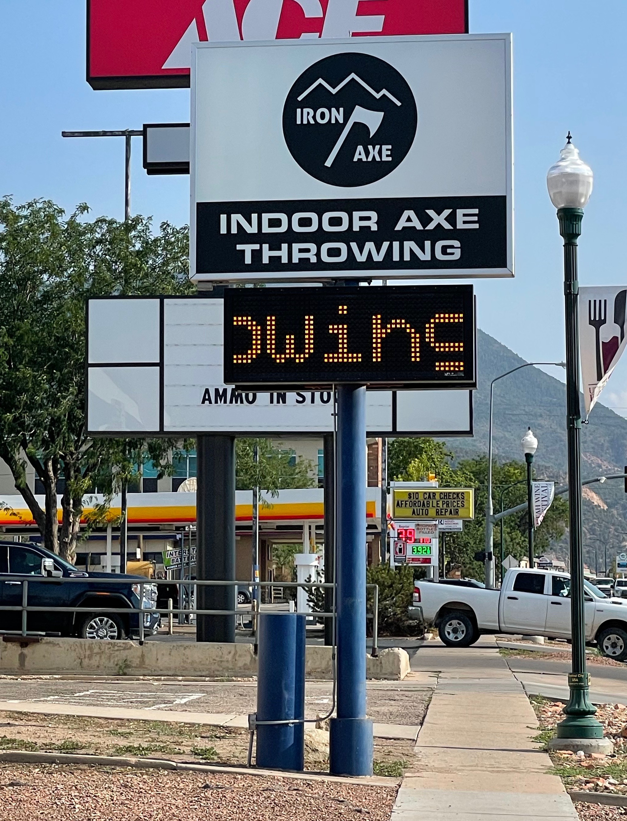
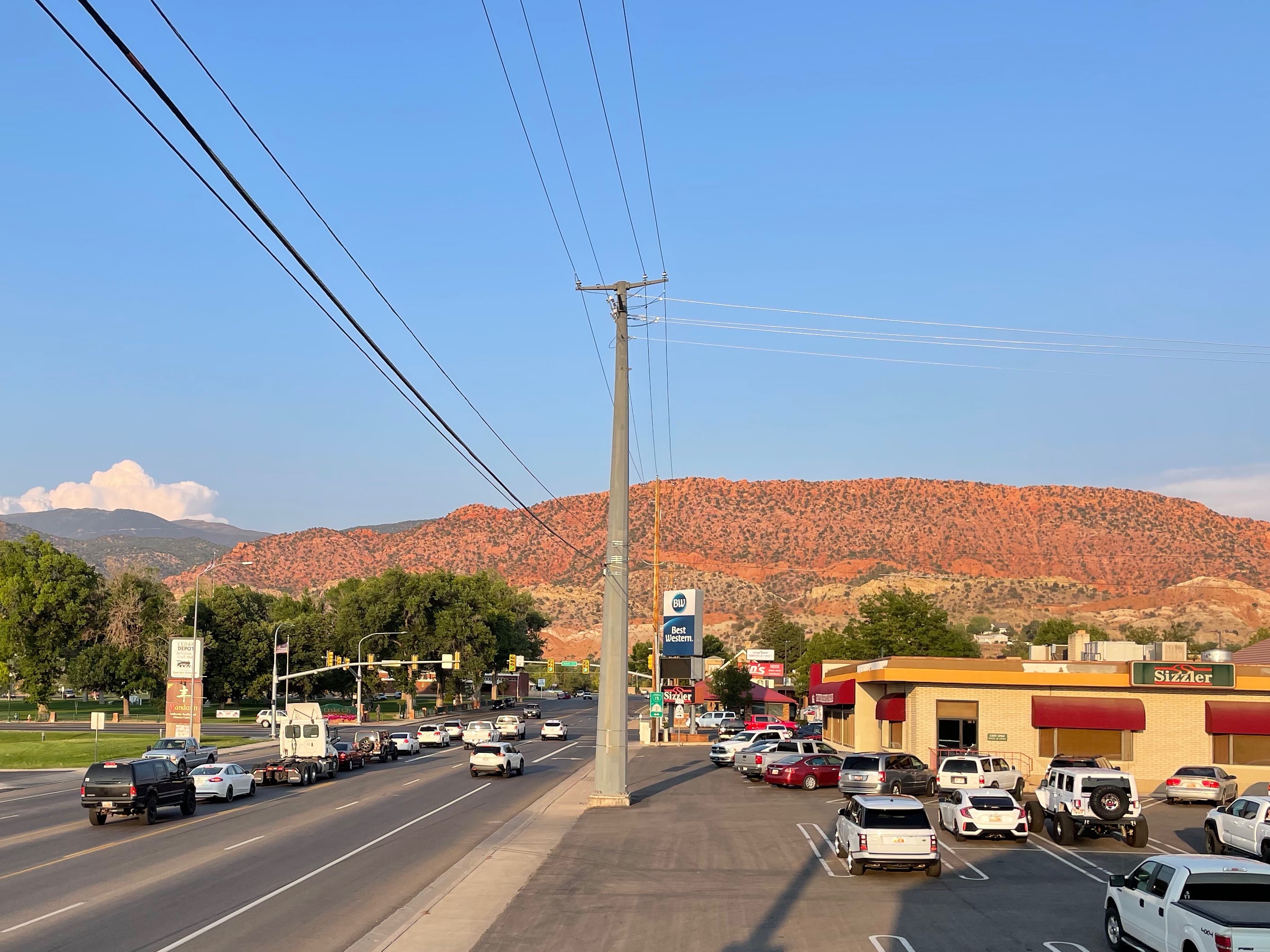
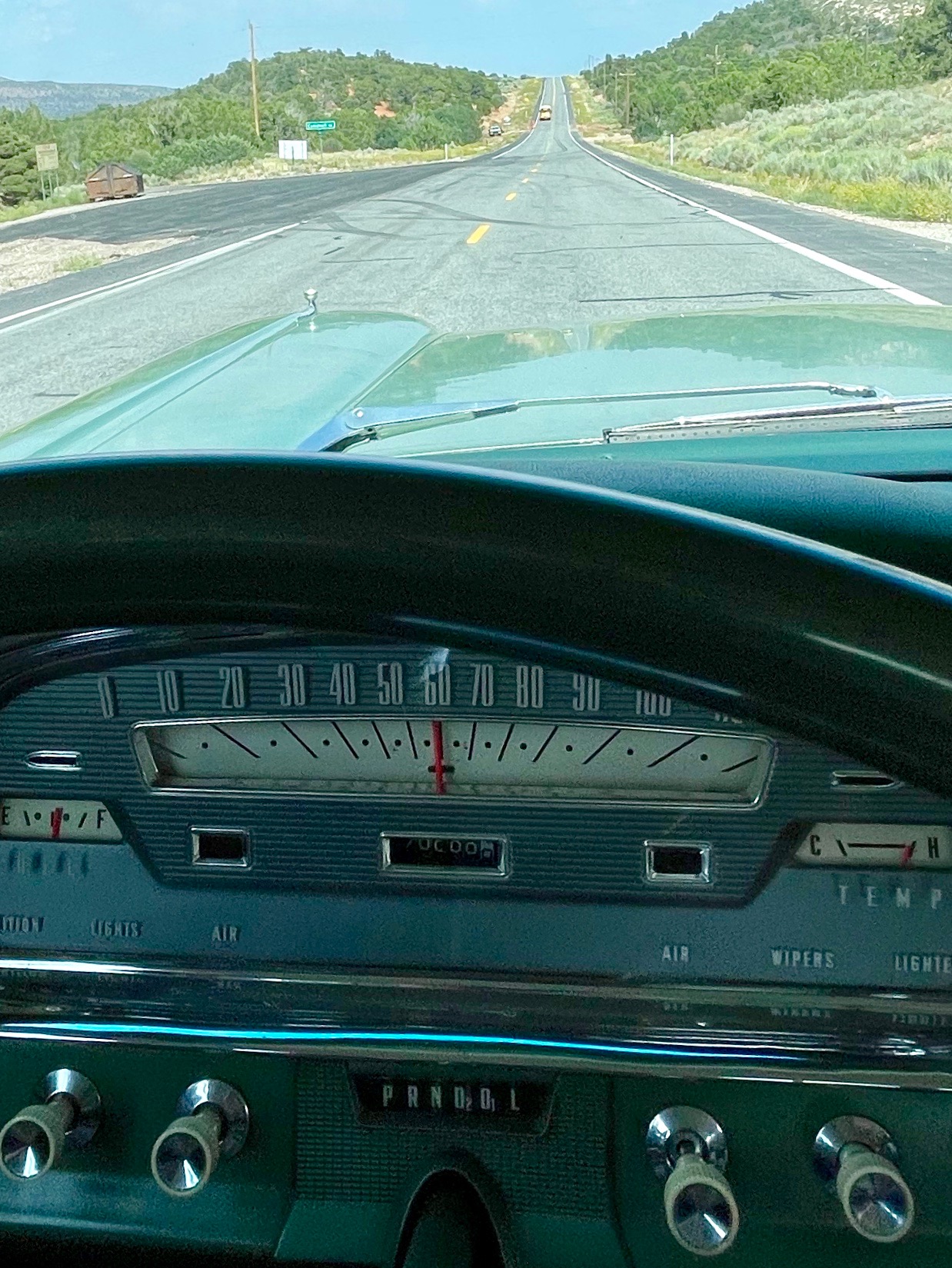 Celebrating the JGG’s 70,000th (or possibly 170,000th) birthday we progress down to Cedar City (pop 35,000), the festival city, with its art gallery, Shakespeare theatre and the history of the Mormon settlers led by Brigham Young. The big employers here are providing services to the surrounding population: Southern Utah University, schools, healthcare and local government. A wholesome town with its girls’ soccer teams, quilting bees and er indoor axe throwing facility. A long way from iron and coal mining.